Labs and Software
UBC Library Labs with GIS Software
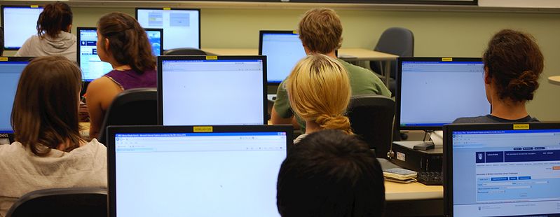
UBC Library offers GIS software, including ArcGIS, QGIS, GRASS, and Google Earth Pro. Software is available in computer labs at these locations:
- Koerner Library Digital Scholarship Lab – Room 497
- Koerner Library Instructional Lab – Room 217
Remote Labs
Six Digital Scholarship Lab computers are accessible through Remote Labs (remotelabs.ubc.ca). Simply log in using your CWL, select one of the appropriate labs, and choose a machine. These remote lab machines are available on a first-come, first-served basis.
Available Software
See this page for a full list of software and UBC-V Library labs where each is available.
Main Computer Lab: Koerner 217

Technology & Facilities
Hardware: There are 32 workstations.
Software: In addition to software provided on all library public machines, there is some GIS and statistical analysis software, including:
- ArcGIS
- FME Desktop
- Google Earth Pro
- QGIS
- R
- SPSS
Access Policies & Procedures:
The room is accessible on a first-come, first-serve basis any time that Koerner Library is open, and there isn't a class being held in the room. To check room availability, please check the calendar posted on the wall outside the room.
Please note that when you log out of the lab's computers, all files stored on the computer will be deleted. Please store all files on an external storage device or cloud storage before logging off.
ArcGIS
ArcGIS software is installed on workstations in Koerner 217, 497, and our remote labs.
*Please note that as of March 2025, Esri shifted to Named User Licensing, and UBC Library is no longer able to provide access to ArcGIS software unless you have purchased your own individual license.
Current UBC students can purchase a one-year license to use Esri’s desktop GIS software on their personal computers through the Faculty of Forestry. This $20 license includes ArcGIS desktop software and extensions. Access to Esri training at a reduced cost is also available. For faculty, staff, and departmental purchases, please contact Forestry IT, the managers of UBC's Esri site license, at (ithelp@forestry.ubc.ca).
For more information, please visit gis.ubc.ca/software.
QGIS
Free and open source GIS that runs on your Mac
There is a variety of free and open source software options for GIS, and the best one for you will be determined by how you want to use it. The most common open source desktop GIS software is QGIS, which runs on MacOS, Linux, Android, and Windows operating systems. QGIS is free to download and install on your own computer from the project's website, or you can use it in the Data/GIS labs in Koerner Library.
Printing Services at UBC
You can print your posters and maps at UBC. For more information on printing services, check UBC Information Technology website.